Do you offer drone photogrammetry?
Yes. Suitable projects can be captured through structured flights to create orthophotos and textured three-dimensional models.
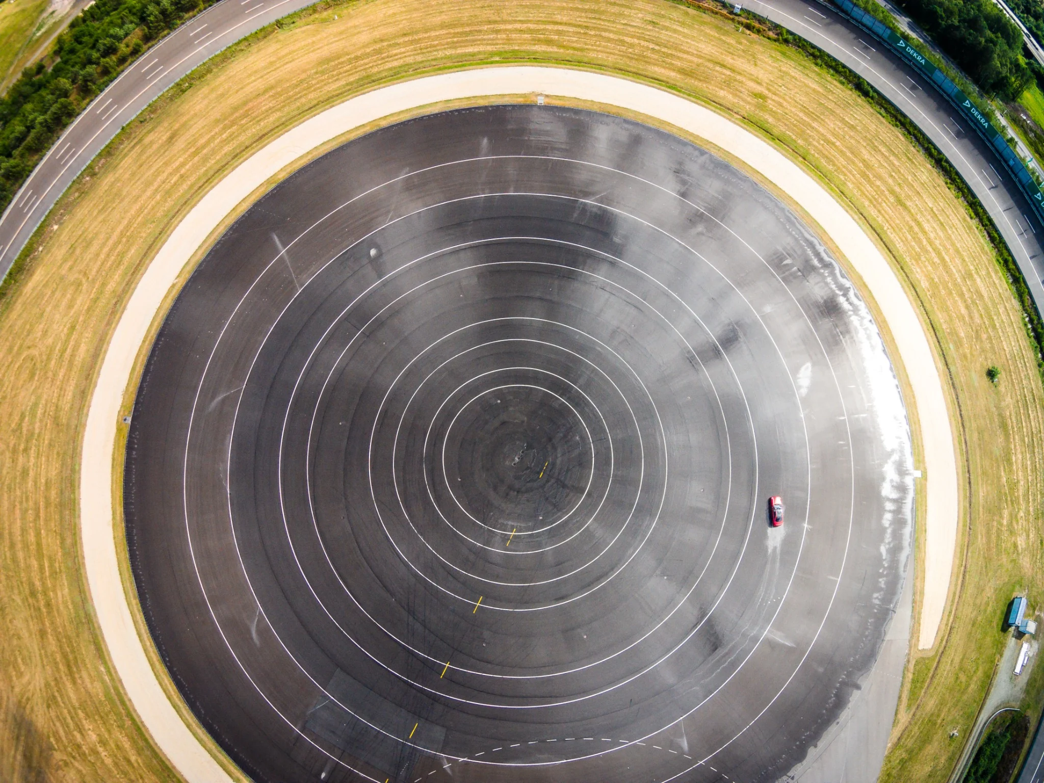
Drone photography and video for architecture, high-end real estate and industry – complemented by photogrammetry, orthophotos and textured 3D models.
Toni Kretschmer creates aerial imagery for architecture, real estate, industry and corporate communications. Perspective, light and flight path are tailored to the intended use.
Photogrammetry uses structured flights with defined overlap, altitude and capture geometry. These datasets can be processed into orthophotos and textured 3D models.
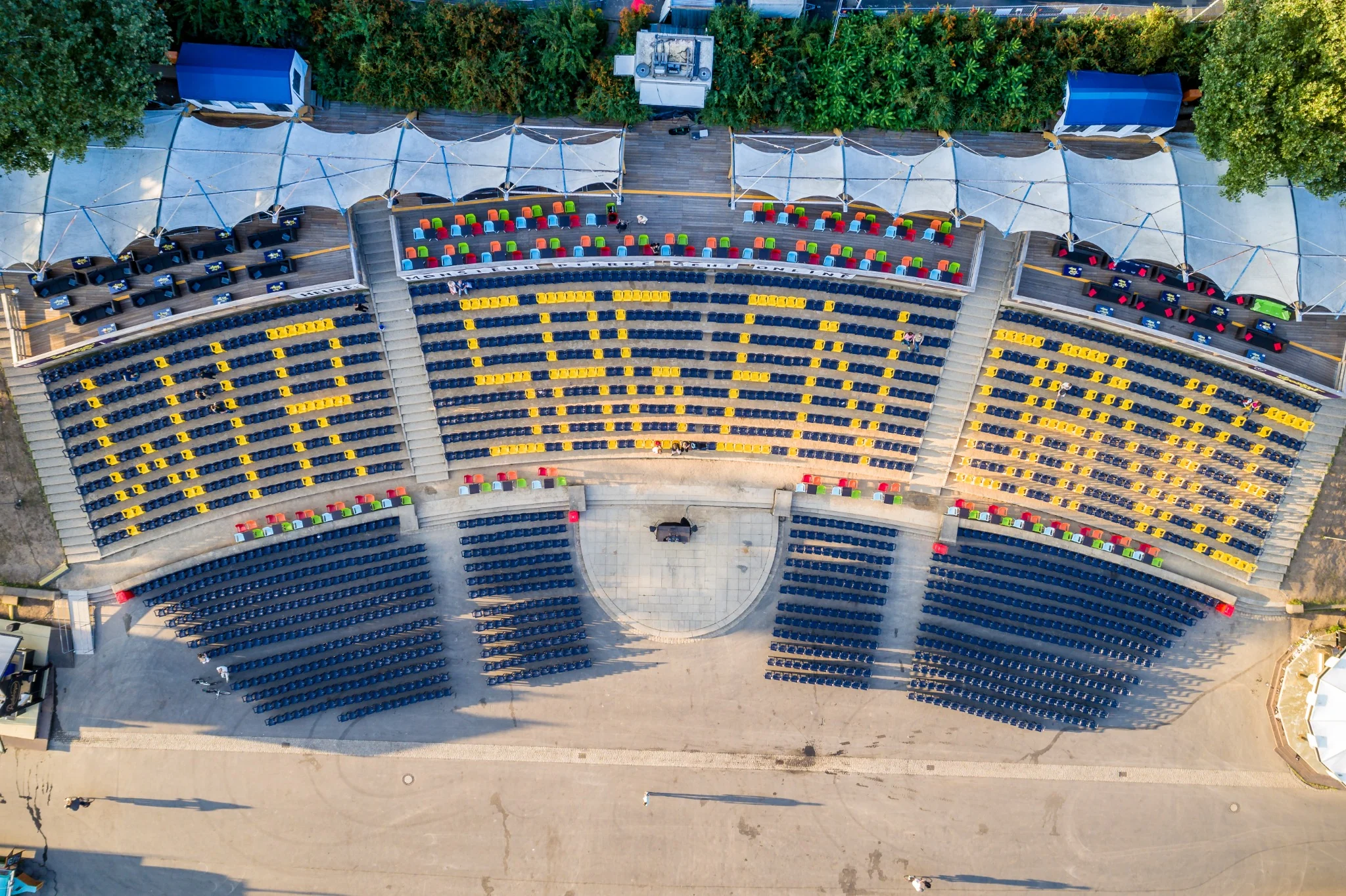
Production parameters follow the intended result. A cinematic shot requires different routes and light windows from repeatable photogrammetric capture.
The service covers photographic and photogrammetric data capture. Legally regulated engineering or official surveying services are not provided.
Yes. Suitable projects can be captured through structured flights to create orthophotos and textured three-dimensional models.
No. Airspace, local restrictions, permits, owner approvals, weather and safety conditions are checked before a flight.
Overlap, altitude, flight geometry and ground resolution depend on the object and intended output. These parameters are defined before capture.
No. The service covers photographic and photogrammetric data capture, not legally regulated engineering or official surveying services.
Location, subject, required output and timeframe are enough for an initial feasibility assessment.
Send an enquiry